May 2014, Geneva Switzerland - UNOSAT spearheaded a series of discussion sessions on “Collaborative Approach Fostering Global Peace and Prosperity” part of the 2014 Geospatial World Forum (GWF) that took place at the Geneva International Conference Centre on 8-9 May. The Forum is one of the largest annual events for the geospatial community. This year the GWF theme was “geoSMART Planet: Resources, Infrastructure and You”. UNITAR-UNOSAT was a strategic partner and co-organizer of the event.
The event attracted hundreds of participants from national instituions, international organizations, NGOs and the private sector. Within GWF, UNOSAT organised a two-day discussion forum on “Collaborative Approach Fostering Global Peace and Prosperity” that focused on three thematic areas: UN Programmes; Inter-Agency Collaboration and Peace & Security; Humanitarian Assistance; and Development at Local Level. Within these areas speakers and participants had interactive sessions on several current topics such as: ground water exploration & water resource management; data as an enabling tool for analysis, decision making and operational efficiency; space-based assets in the context of international peace and security and; satellite imagery in support of humanitarian action and risk reduction.

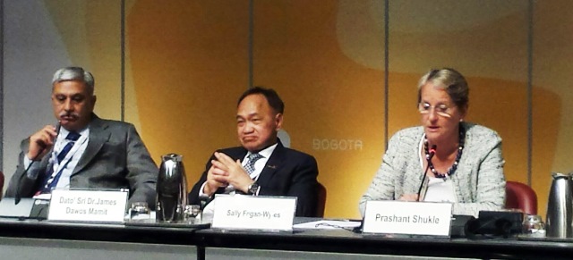
Assistant Secretary-General Sally Fegaw-Wyles was among the speakers of the Ministerial segment of the Forum, which included notable speakers such as Minister for Lands and Natural Resources, Ghana, the Minister of Housing and Lands, Mauritius, the Secretary of the Ministry of Earth Science, India, the Minister of Natural Resources, Malaysia, the Assistant Deputy Minister, Earth Sciences Sector and Chief Scientist, Natural Resources Canada, Canada, the Executive Director of Land and Property Management of the Department of Municipal Affairs of Abu Dhabi, and other high level representatives from Nigeria and Azerbaijan.
The discussion forum on Collaborative Approach concluded with a panel discussion facilitated by UNITAR Director of Research. In addition to Francesco Pisano, the line-up included Neil Buhne (UNDP), Kimberly Roberson (UNHCR) and Ahmed Abukhater (Trimble USA), who discussed of the impact of geospatial information in complex emergencies and the crucial role of GIS data.
Image: UNITAR’s Executive Director, Ms Sally Fegan-Wyles, addresses the Plenary during the Ministerial Panel. She highlighted the need for a holistic approach towards a geo-smart planet, and better access to technology and capacity development by national players.
Photo: UNITAR/UNOSAT

