
UNOSAT Campaigns for Disaster Risk Reduction
Making a Difference Locally, Where People Live
13 October 2015, Geneva, Switzerland – UNOSAT continues its campaign for Disaster Risk Reduction (DRR) using Geographic Information Systems (GIS) and Earth observations. Our DRR activities are focused on increasing the capacity of governments and regional actors in reducing disaster risk, spanning from preparedness to emergency response through the use of GIS and Remote Sensing (RS) applications. A blend of collaborative training, and in-country capacity development forms the basis of our activities which include:
- Strengthening technical knowledge and skills in the use of GIS and RS technologies for DRR;
- Raising awareness on use of geospatial technologies for DRR for decision making;
- Data production and technical backstopping for DRR related matters;
- Providing global alerts for flood preparedness.
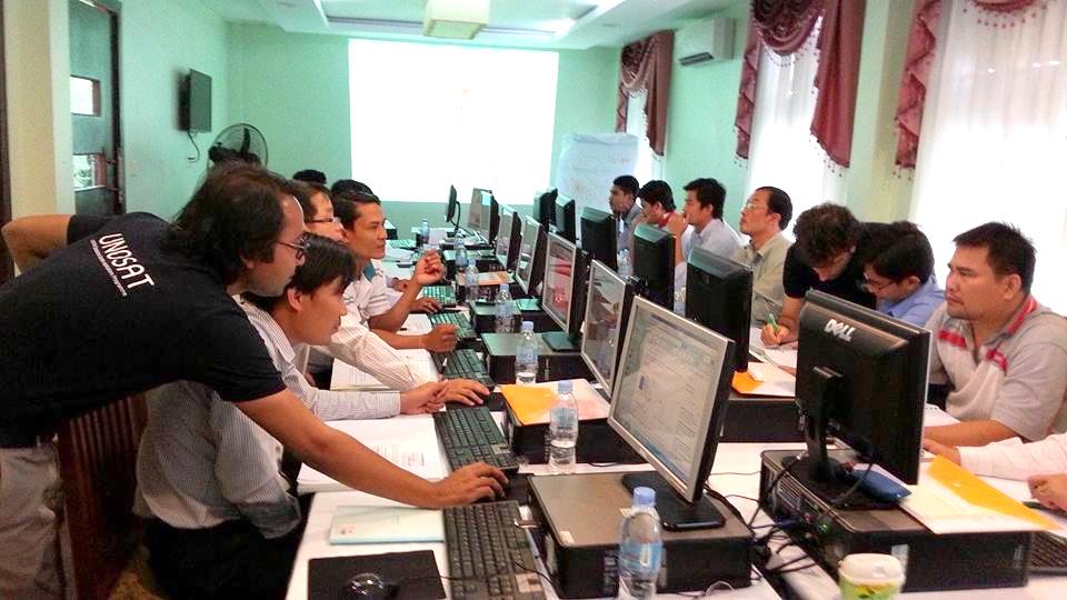
We work in the Horn of Africa in collaboration with the Intergovernmental Authority on Development (IGAD) to mainstream DRR across IGAD member states with an integrated approach to disaster management, climate change and human rights / security. In the Southeast Asia region, we are collaborating with the Asian Disaster Preparedness Centre (ADPC) to provide government agencies and stakeholders with geospatial solutions for risk reduction and satellite imagery based analysis and mapping in disaster situations. We are also partnering with the Chadian Ministry of the Hydraulic Urban and Rural (MHUR) in the implementation of the ResEau project, aimed at strengthening national capacities in the fields of geology, hydrogeology and GIS for improved knowledge of water resources management.
UNOSAT has also developed a flood modelling tool “Flood-FINDER’ to produce global early warning and simulated flood scenarios. The flood modelling tool aims to enhance flood resilience by providing forecast information in the form of alert bulletins to effectively help the population during preparedness and planning activities. We have successfully used the tool in forecasting the Malawi and Mozambique floods. Currently, we are releasing flood forecasting in Chad and implementing the use of the flood modelling tool in the IGAD region.
Our regional liaison offices in Bangkok, N’Djamena and Nairobi continue campaigning for an increased outreach of our DRR activities to local actors. Thanks to the generous contribution of the Norwegian Ministry of Foreign Affairs and the Swiss Agency for Development and Cooperation that our DRR activities have benefitted over 800 disaster management professionals from 104 countries worldwide.