

Side Event SIDS4 Conference
Deepest Condolences on the Passing of Mr. Marcel André Boisard, former Executive Director of UNITAR (1992 - 2007)
Pacific Islands Write-Shop Empowers Leaders to Secure Climate Finance
UNOSAT Celebrates Women in GIS: Key Takeaways from Our Webinar
UNOSAT Knowledge Hub: A Beacon for Geospatial Learning and Collaboration
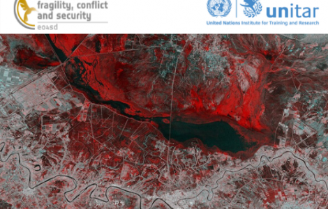
Using Satellite Imagery As Evidence In International Judicial Proceedings
UNOSAT 2023 Year in Review: Fostering Resilience and Innovation Worldwide
Empowering Disaster Resilience in Bangladesh: Geospatial Training for Progress
UNOSAT's Empowerment in Disaster Risk Management: Navigating Geospatial Technologies for Resilience in Lao PDR
Empowering Women in Science: UNOSAT's Impactful Work in Geospatial Analysis