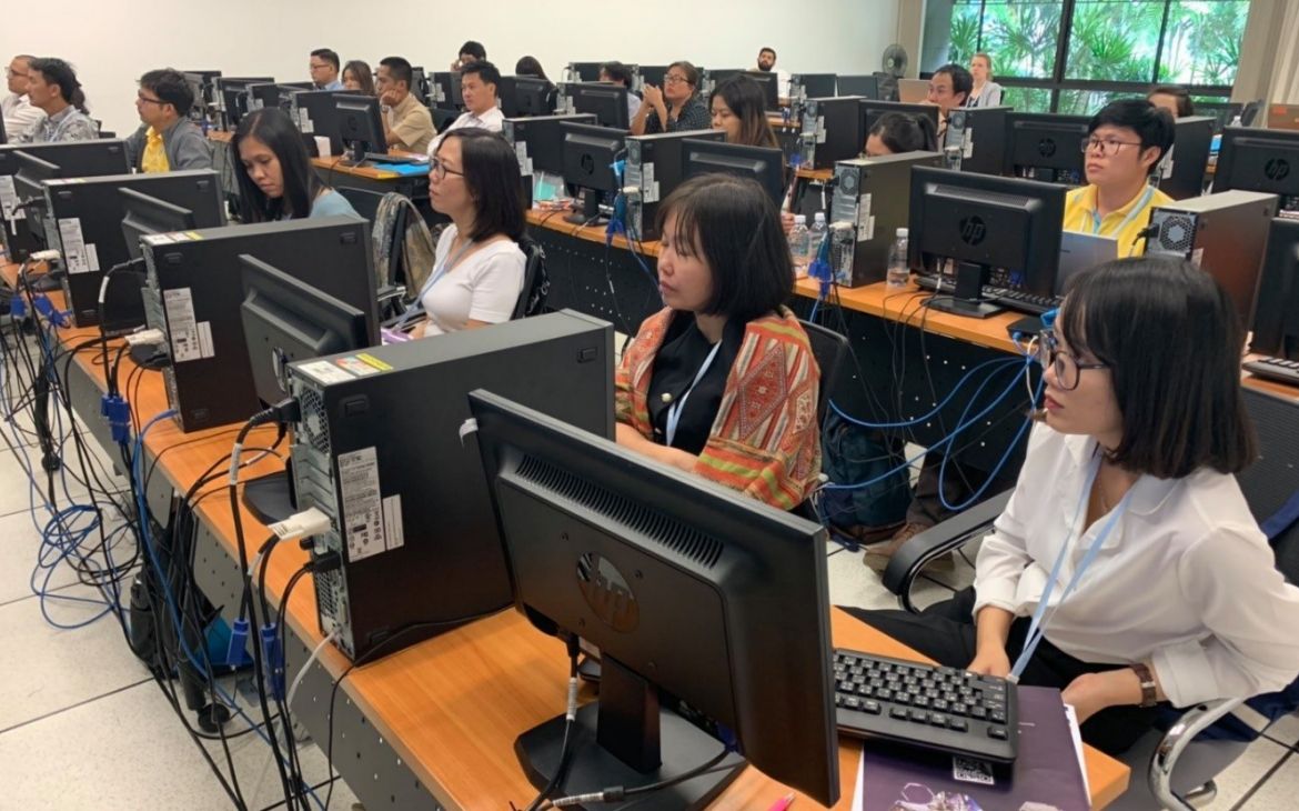
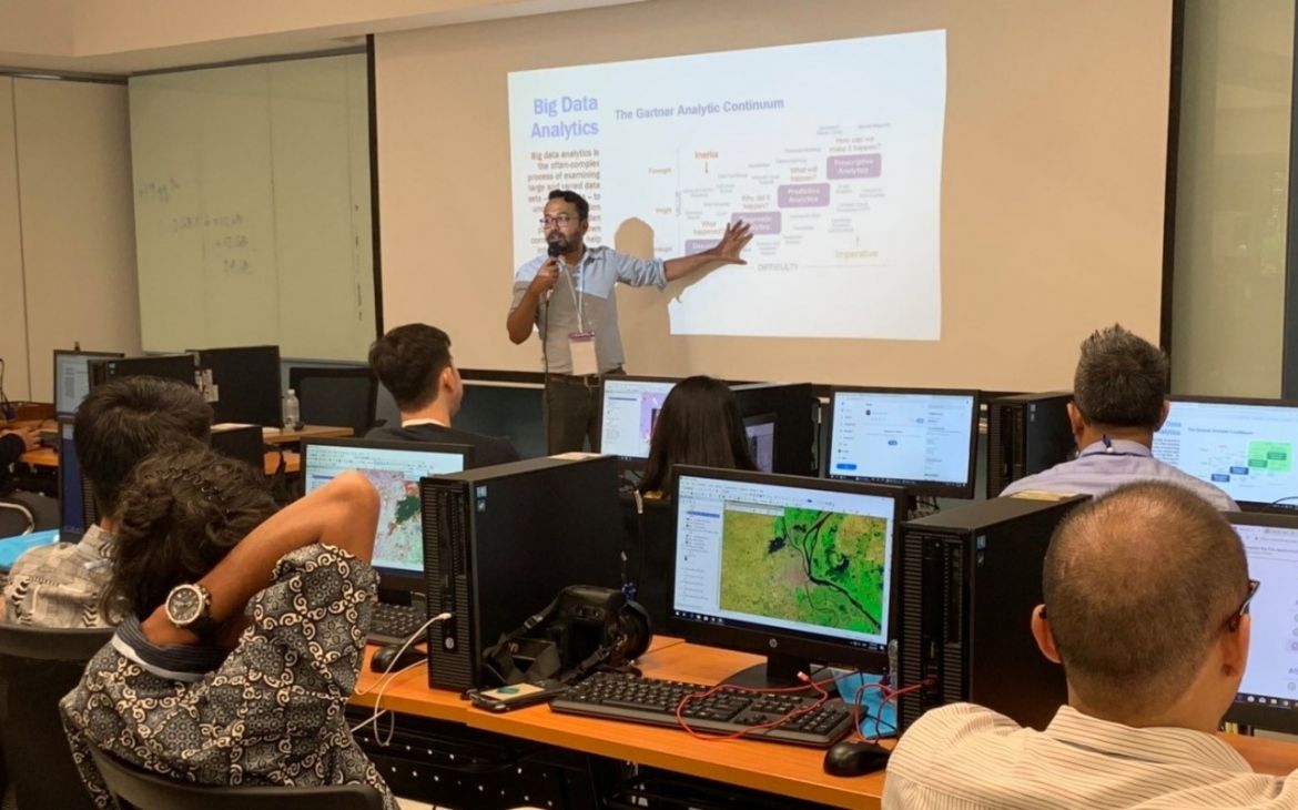
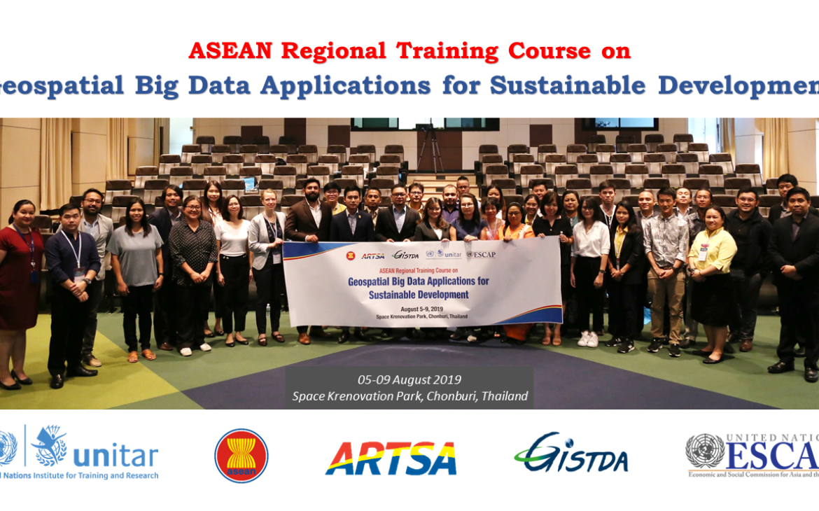
09 September 2019, Bangkok, Thailand – UNOSAT delivered a training on geospatial big data applications for sustainable development to enhance the capacity of the Member States of Association of Southeast Asian Nations (ASEAN) together with regional partners, from 5 to 9 August 2019, at the Space Krenovation Park (SKP) in Chonburi province of Thailand. The training course intended to provide participants with a theoretical understanding of geospatial big data and its analysis and applications for problem identification, assessment and decision support towards achieving SDGs.
The increasing value of big data analytics to geographic information system (GIS) is stimulating, because it can lead to a substantial lessening of computation time and manual data processing when analyzing huge amounts of data on cloud-based platforms. With the rapid advancement of sensor and communication technologies, new sources of geospatial big data are emerging exponentially (i.e. satellites, drones, vehicles, geosocial networking services, mobile devices, and cameras). Multi-temporal earth observation data and crowdsourced geospatial data are especially invaluable in identifying the depletion of natural resources, diagnosing the underlying causes and devising informed plans for sustainable development. Geospatial information technology (GIT) thus will enable the ASEAN Member States to use big data for policy framing and decision-making, but also to address the pressing need of strengthening institutional capacity for implementing SDGs.
Over the course duration, participants learned different operational applications of GIS and Remote Sensing starting from basic introduction, analysis for visualization and mapping, to the use of cloud-based platforms for big data analysis such as Google Earth Engine and Climate Engine that are useful tools for real-time monitoring of fire, smoke and haze. The web scraping method to utilize big data in social media for disaster monitoring was also introduced.
One of the highlighted aspects of this training was gender inclusiveness. There was 45% female participants and 55% male participants which show the fairly equal number of training beneficiaries from both genders. A total of 35 participants were comprised of technical experts from relevant ministries and academia of the ASEAN Member States (Cambodia, Indonesia, Lao PDR, Myanmar, Philippines, Singapore, Thailand and Vietnam), representatives from the ASEAN Coordinating Centre for Humanitarian Assistance on Disaster Management (AHA Center) and staff from the ICT and Disaster Risk Reduction Division of UNESCAP (IDD-ESCAP).
The training was well received with 93% of participants indicating in the course evaluation that they were completely or mostly satisfied with the course.
“This course is beyond my expectation. The hands-on sessions were very useful and of great help.”
“Thank you for the course. It was really great and useful. Looking forward to the more advance course. All the best.”
This ASEAN regional training event was offered with the support of Geoinformatics and Space Technology Development Agency (GISTDA) of Thailand, United Nations Economic and Social Commission for Asia and the Pacific (UNESCAP) and Association of Southeast Asian Nations (ASEAN) thanks to funding from the Norwegian Agency for Development Cooperation (NORAD).


