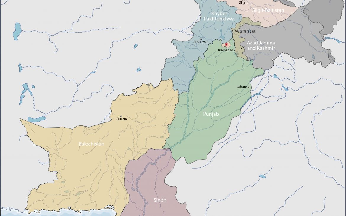
As the number of people affected by the floods in Pakistan increases, UNOSAT received additional requests from the Pakistani government and international humanitarian organisations to expand its analysis and mapping efforts. The International Charter Space and Major Disasters activated in this case by the US Government has entrusted UNOSAT with the production of emergency response maps. This process is continuing as the Space Charter generates and delivers free satellite imagery that is analysed by UNOSAT experts on the same day of delivery.
Over 14 million people – almost one in every 10 Pakistanis - have so far been affected in seven provinces, while at least 1,200 people have been killed. This in a context where the monsoon season could last for at least another month, worsening the flooding we have seen so far, including in parts of country not affected so far.The maps generated are used in the field by international and national responders. The feedback being received in Geneva shows the primary role of geospatial analysis in providing updated information on the situation on the ground. In a message received from Pakistan an international expert said “the latest map for flooding around Sukkur town (Sukkur barrage) is fantastic (in fact all of the maps that you have posted are excellent)”. The United Nations Country Team stated "UNOSAT is requested to continue the mapping support, they are providing us a lot of useful information and government is banking on it".
To meet additional demand, UNOSAT is also working with Google to mobilise the very useful data on place names and road names generated via with its Google Map Maker initiative. UNOSAT is the conduit within the United Nations for the use of such data in cases in which the international humanitarian community is in need of advanced geospatial information to coordinate response to major crises and disasters. Joshua Lyons, principal analyst with UNOSAT says: “In order to provide humanitarian actors with satellite-derived products that genuinely meet their specific and rapidly evolving needs on the ground, we really need more than simply lots of satellite images over a disaster area.
Access to very high quality and up-to-date baseline datasets on critical infrastructure such as roads, bridges, hospitals etc., has always been essential to help non-specialists to make sense of satellite-derived analysis products. This is why access to datasets such as Google Map Maker has had such a major impact on our work. It means the time we used to spend hunting for relevant data can now be invested directly in analysis; it improves the accuracy and confidence in our results, and it raises the overall value and utility of the input satellite imagery. The benefit extends beyond UNOSAT since we are able to share our mapping products with other UN agencies and NGOs operating on the ground.
For over a decade the geospatial community within the UN has explored ways to continue improving access to high quality baseline datasets over critical areas in the world--our collaboration with Google helps in our ongoing effort to make this a reality.


