

 A month into the Haiti tragedy, the relentless work of the Operational Satellite Applications Programme (UNOSAT) in producing geospatial information to support relief and more recently to estimate damage in view of reconstruction is attracting praise from UN organisations and member states alike. UNOSAT has already completed one mission to Haiti, while the next one is due to commence on 20 February. The work on the ground is done in conjunction with Haiti’s national centre for geographic and spatial information (CNIGS).
UNOSAT produced the first maps in the immediate aftermath of the earthquake, when its rapid mapping service was activated on the day of the disaster. Subsequently, the UN Development Programme (UNDP) tasked UNOSAT with the estimate of damaged buildings and percentage of destruction. This work was done in consultation with various important players outside the UN such as the European Commission Joint Research Centre, Sertit of France, DLR of Germany, ITHACA of Italy, and others, and with the support of the US State Department. As a member of the UN Early Recovery Cluster, UNOSAT is now engaged in a coordinated damage assessment together with the World Bank and JRC and counting on the important contribution of Haiti’s CNIGS, which is recovering its material and capacity after having been severely hit by the earthquake. To facilitate the overall damage assessment, UNOSAT, JRC and the World Bank are issuing a joint geospatial atlas that will form the basis for in-field damage assessment exercises due to start this week with the direct involvement of local experts.
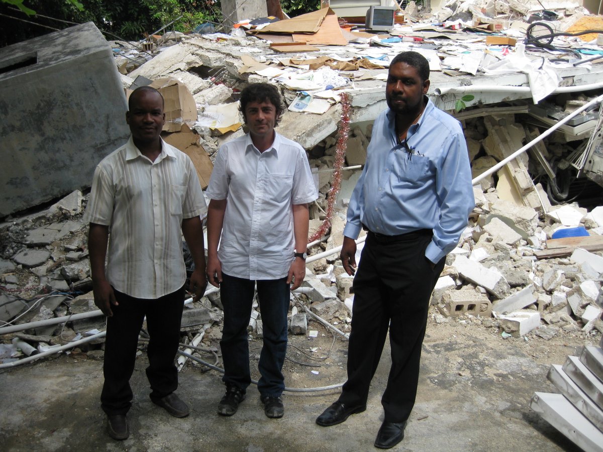
UNOSAT is making a specific effort to help with CNIGS rehabilitation and ensure their participation in the post disaster damage assessment. To this end UNOSAT with the support of UNDP has committed technical assistance and a cash grant.
