Displaying 61 - 70 of 124
1 October 2020
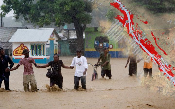
2 October 2020, Geneva, Switzerland – UNOSAT hosted the Regional Technical Webinar Series on Flood Forecasting, Early Warning Systems and Geospatial Information Technology (GIT) for Flood Risk Management for ECOWAS member states. This is part of a wider effort to support the ECOWAS region in building resilience to the flood events it is facing.
31 August 2020
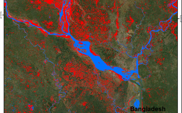
31 August 2020, Geneva, Switzerland - Over the summer, UNOSAT introduced an Artificial Intelligence (AI) based method in its operational emergency mapping service. By reducing the process to a fraction of the time normally needed. ”This fully automated processing method is a game changer for humanitarian rapid mapping operations and a great tool for national disaster management authorities”, Einar Bjørgo, Director, UNOSAT.
3 July 2020
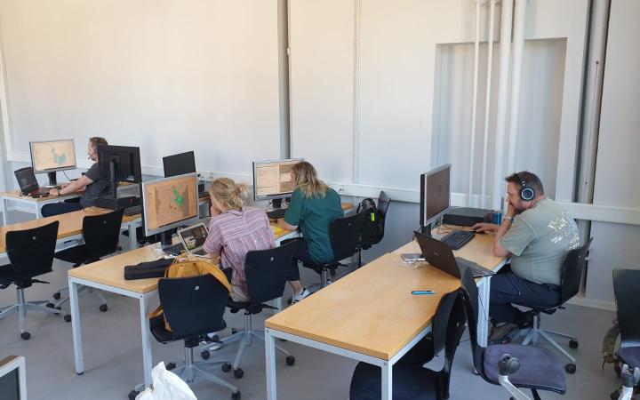
3 July 2020 - UNITAR-UNOSAT and the University of Copenhagen co-organized and delivered a 3-week Masters level course entitled “Geo-information in disaster situations” ending on 3 July 2020. The beneficiaries were University of Copenhagen students registered in the Master of Disaster Management programme. Instruction during the first week focused on introductory concepts and essential software applications as well as data analysis and cartographic modelling; it was delivered by the Geography Section of the Department of Geosciences and Natural Resources Management at the University of Copenhagen.
9 March 2020
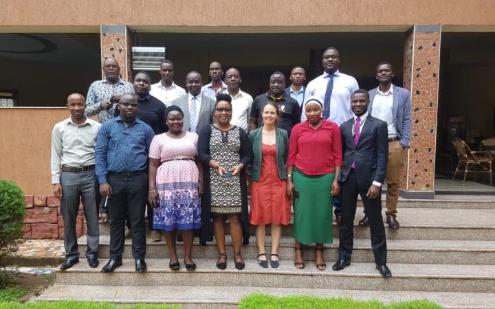
9 March 2020, Kampala - UNITAR-UNOSAT and the UN Technology Bank, in partnership with the Ugandan Ministry of Science, Technology and Innovation (MOSTI) have conducted a one-week training course from 2 to 6 March 2020 in Kampala on the use of Geospatial Information Technologies (GIT) to reduce the impact of disaster situations.
18 December 2019
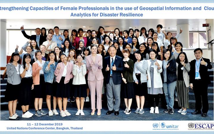
UNOSAT in collaboration with the United Nations Economic and Social Commission for Asia and the Pacific, UNESCAP, have conducted a training with the aim to strengthen a gender-responsive approach to Disaster Risk Reduction.
18 October 2019
Indonesia is in one of the world’s most natural disaster-prone areas and is at risk to multiple hazards, including flooding, earthquakes, landslides, tsunami, volcano, and cyclone.
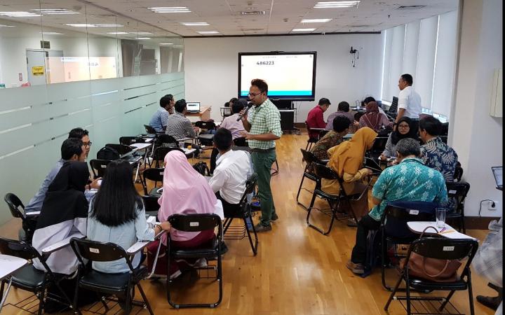
14 – 18 October 2019, Jakarta, Indonesia - Throughout 2018, Indonesia's National Disaster Mitigation Agency (BNPB) recorded almost 2,000 natural disasters that claimed more than 4,000 lives and displaced approximately 3 million people. Disaster events occurred in 2018 also caused severe financial losses up to $billion according to Indonesia’s National Disaster Mitigation Agency. The Government of Indonesia spends $300 to $500 million annually on post-disaster reconstruction.
14 – 18 October 2019, Jakarta, Indonesia - Throughout 2018, Indonesia's National Disaster Mitigation Agency (BNPB) recorded almost 2,000 natural disasters that claimed more than 4,000 lives and displaced approximately 3 million people. Disaster events occurred in 2018 also caused severe financial losses up to $billion according to Indonesia’s National Disaster Mitigation Agency. The Government of Indonesia spends $300 to $500 million annually on post-disaster reconstruction.
13 September 2019
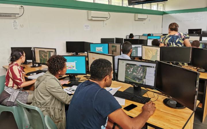
13 September 2019, Suva, Fiji – Disasters caused by natural hazards and climate change affect about 350 million people on average each year, according to the Global Humanitarian Overview 2019 (UN-OCHA, 2019). The human cost tends to be higher in vulnerable areas of the Pacific SIDS, often due to the limited data available for preparedness and early response actions.
9 September 2019
09 September 2019, Bangkok, Thailand – UNOSAT delivered a training on geospatial big data applications for sustainable development to enhance the capacity of the Member States of Association of Southeast Asian Nations (ASEAN) together with regional partners, from 5 to 9 August 2019, at the Space Krenovation Park (SKP) in Chonburi province of Thailand.
4 September 2019
4 September 2019, Geneva, Switzerland - Strategy consultants from Simon-Kucher & Partners visited UNITAR over the summer to explore and assess new income streams for growth.
24 June 2019
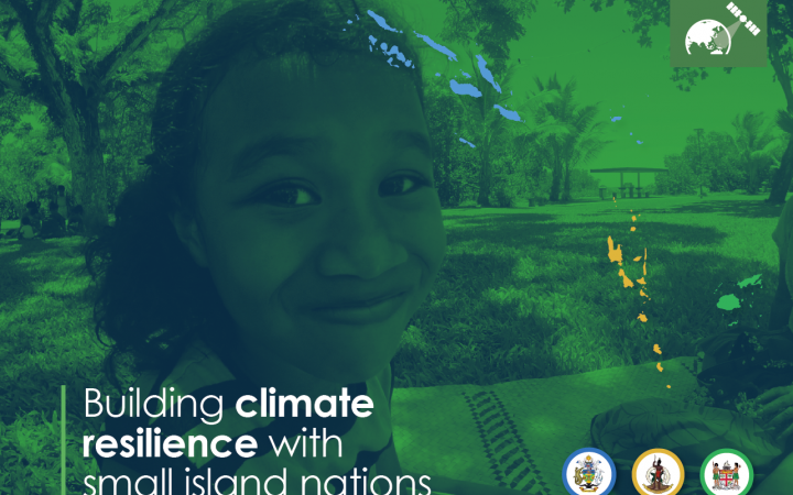
24 June 2019, Geneva, Switzerland – In February 2019, the CommonSensing project was officially launched in Fiji, Vanuatu and Solomon Islands and the project has now moved forward to Phase 2: Addressing Needs. CommonSensing aims to support three selected Commonwealth Small Island Developing States (SIDS) with improving national climate resilience through the use of satellite remote sensing applications.


