Displaying 121 - 130 of 160
29 November 2017
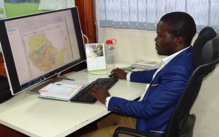
“It was hard to know the exact damage area from flood, drought or other disaster because they happened fairly frequently and all estimates were done manually. Now, with GIS we can show our department and ministry a clear picture of the area of disaster and other important information quickly”.
28 November 2017
“Instead of the old method of information sharing, I now use technologically advanced tools to convert probability of precipitation to actual rainfall amounts for specific areas, and that final output is put into GIS maps with which farmers can interact and understand.”
14 June 2017
The United Nations Institute for Training and Research (UNITAR) through its Operational Satellite Applications Programme (UNOSAT) and Radiant.Earth, have agreed to explore new Earth observation data innovations supporting humanitarian disaster management, global health, climate change, sustainable water management and cultural heritage. With Radiant.Earth’s capacity in combining the best in discovery and dissemination with the latest trends in image processing, and UNOSAT’s experience in satellite imagery analysis and capacity development, the two entities will collaborate to make data and solutions widely available to the global development community for overall support of the Sustainable Development Goals (SDGs).
11 March 2016
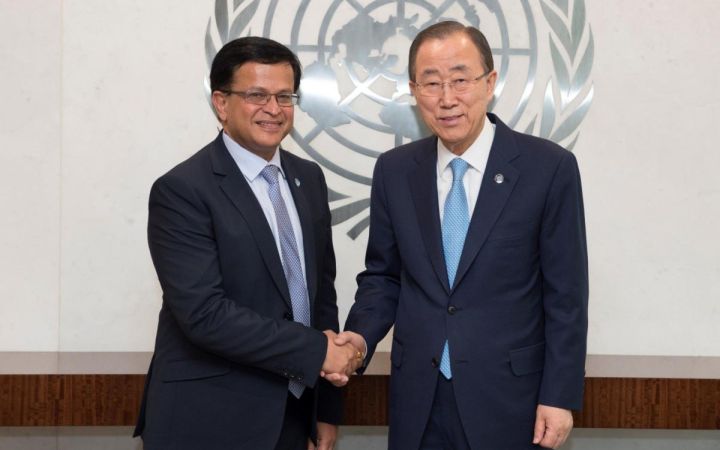
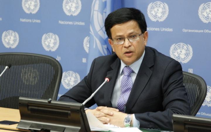
10 March 2016, New York, USA - Mr. Nikhil Seth, UNITAR Executive Director, met today with the United Nations Secretary-General , Mr. Ban Ki-moon at the United Nations Headquarters in New York.
19 January 2016
19 January 2016, Geneva, Switzerland - It is with great sadness that we learned that our highly respected and beloved colleague, Mr. Jean Gazarian, UNITAR full-time Senior Fellow, passed away yesterday at the Mount Sinai Hospital in New York, United States. Our heartfelt condolences go out to his family.
1 July 2015
30 June 2015, Bonn, Germany – UNESCO and UNITAR (the UN Institute for Training and Research) have signed an agreement to protect cultural and natural heritage sites with the latest geo-spatial technologies. It was signed at the annual meeting of the World Heritage Committee in Bonn, Germany, and will be delivered through UNITAR’s Operational Satellite Applications Programme (UNOSAT).
11 June 2015
United Nations Secretary-General Ban Ki-Moon announced today the appointment of Nikhil Seth of India as Executive Director of the United Nations Institute for Training and Research (UNITAR). He will succeed Sally Fegan-Wyles of Ireland, to whom the Secretary-General expressed his utmost gratitude for her dedication and commitment to the United Nations.
20 October 2014
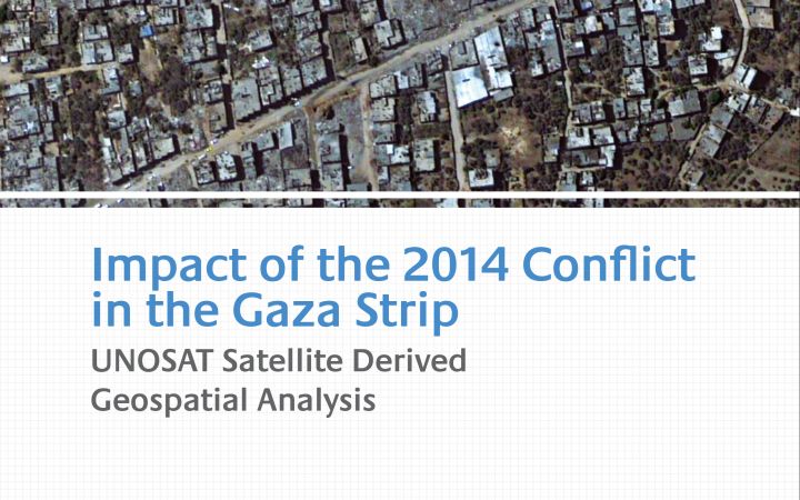
This satellite derived geospatial analysis documents damages over the Gaza Strip following the July-August 2014 conflict. It is based on analysis of commercial satellite imagery and quantifies damage to overall building structures, health facilities, education facilities, agricultural fields and greenhouses. The study also compares damage from the 2014 conflict to that of the 2009 conflict.
18 March 2013
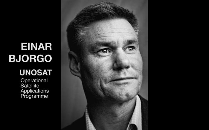
March 2013, Geneva, Switzerland - The Executive Director of UNITAR has appointed Dr. Einar Bjorgo of Norway as UNOSAT Manager after a selection process involving internal and external candidates. Bjorgo, who was serving as Senior Officer at UNITAR had been in charge of UNOSAT operations under the previous management.
25 January 2013
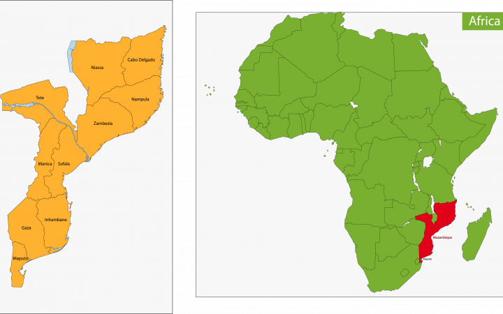
24 January 2013, Geneva, Switzerland - Mozambique is being affected by flooding that may match in intensity the catastrophic emergency in 2000 that cost the life of 800 people and brought havoc and loss to the country.


