Displaying 91 - 100 of 159
13 September 2019
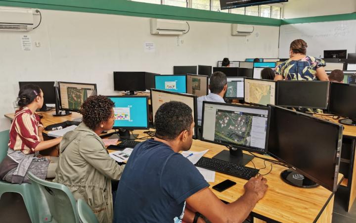
13 September 2019, Suva, Fiji – Disasters caused by natural hazards and climate change affect about 350 million people on average each year, according to the Global Humanitarian Overview 2019 (UN-OCHA, 2019). The human cost tends to be higher in vulnerable areas of the Pacific SIDS, often due to the limited data available for preparedness and early response actions.
9 September 2019
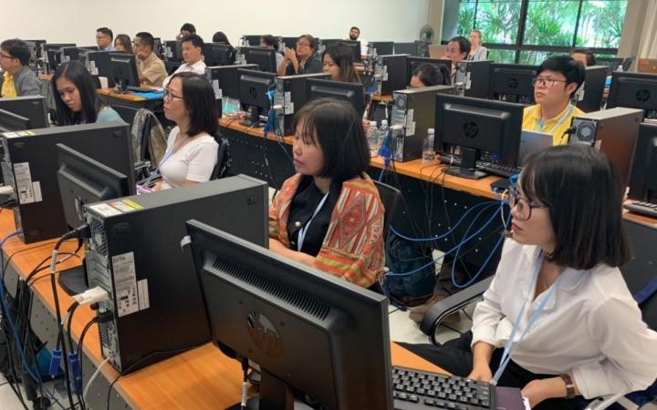
09 September 2019, Bangkok, Thailand – UNOSAT delivered a training on geospatial big data applications for sustainable development to enhance the capacity of the Member States of Association of Southeast Asian Nations (ASEAN) together with regional partners, from 5 to 9 August 2019, at the Space Krenovation Park (SKP) in Chonburi province of Thailand.
4 September 2019
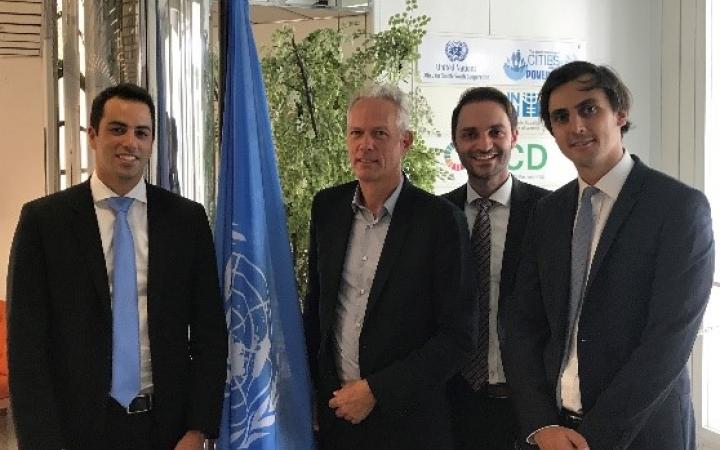
4 September 2019, Geneva, Switzerland - Strategy consultants from Simon-Kucher & Partners visited UNITAR over the summer to explore and assess new income streams for growth.
24 June 2019
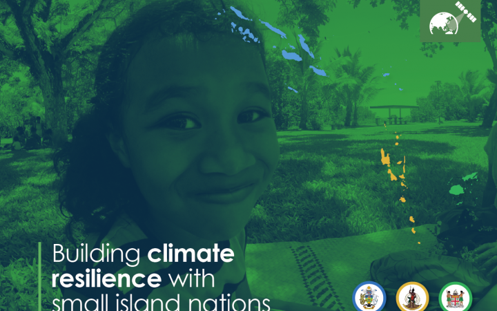
24 June 2019, Geneva, Switzerland – In February 2019, the CommonSensing project was officially launched in Fiji, Vanuatu and Solomon Islands and the project has now moved forward to Phase 2: Addressing Needs. CommonSensing aims to support three selected Commonwealth Small Island Developing States (SIDS) with improving national climate resilience through the use of satellite remote sensing applications.
11 June 2019
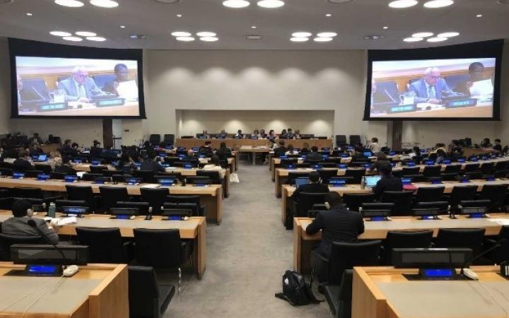
7 April 2019, New York, United States - Following the Report of the Secretary-General (E.2019/81), the United Nations Institute of Training and Research (UNITAR) Headquarters and the New York office started preparations for delivering the report to the United Nations Member States, and consultations in order to produce the legislative response from the Economic and Social Council (ECOSOC) of the United Nations Member States.
17 May 2019
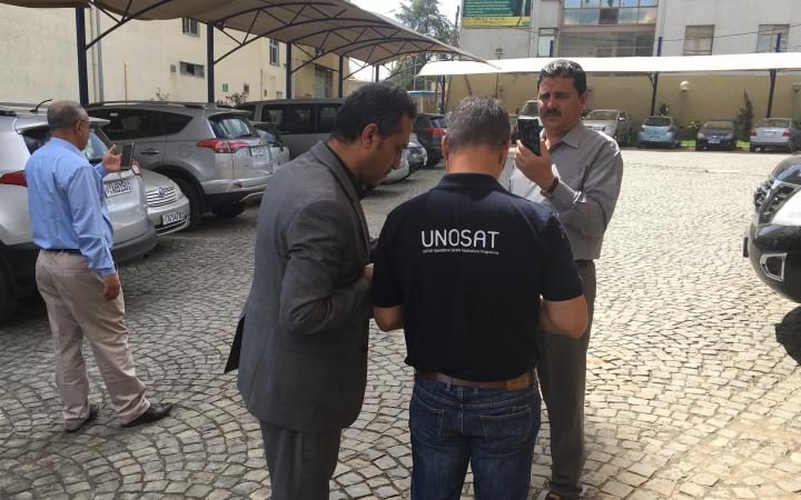
17 May 2019, Geneva, Switzerland – For a full week, between 01 and 07 May 2019, OHCHR and UNOSAT organized a training for members of Yemen’s National Committee to Investigate Alleged Violations of Human Rights (NCIAVHR) and representatives from the Office of the United Nations High Commissioner for Human Rights (OHCHR). This programme, which took place in Addis Ababa, Ethiopia, focused on the use of geospatial tools to investigate alleged violations of International Humanitarian Law.
10 May 2019
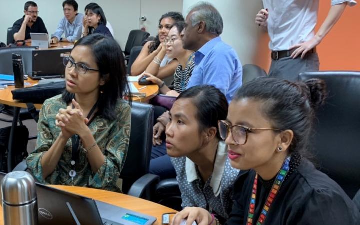
10 May 2019, Bangkok, Thailand – From 07 to 10 May 2019, UNOSAT organised a training on operational application of geospatial information technology, generously hosted by the United Nations Economic and Social Commission for Asia and the Pacific (ESCAP), in Bangkok, Thailand.
24 April 2019
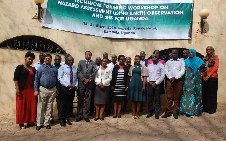
24 technical experts from the government and academic institutions in Uganda successfully completed a one-week course in the use of Earth observations (EO) and geographic information system (GIS) for hazard assessment, delivered by UNOSAT from 25 to 29 March 2019 in Kampala, Uganda. When it comes to GIS technical training, the trend towards a more balanced gender ratio has been remarkably harder to achieve; however, this learning event had over 50 percentages of female participants.
7 March 2019
March 2019, Geneva, Switzerland – The UNOSAT Rapid Mapping Service has been supporting the humanitarian community with satellite imagery analysis for over 16 years. The service was established in 2003 to meet the demand of United Nations agencies, Member States and other humanitarian agencies for rapid mapping and satellite derived analysis in the wake of disasters and complex emergencies.
14 February 2019
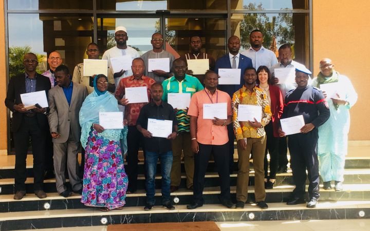
14 février 2019, Genève, Suisse - Dans le cadre de sa collaboration avec l’UNICEF, l’UNOSAT et le Bureau de l’UNICEF au Mali ont dispensé une formation pratique à l’utilisation des systèmes d’information géographiques en libre accès (open source) et notamment Quantum GIS (QGIS) dans le but de renforcer les capacités des équipes et partenaires de l’UNICEF au Mali en collecte, traitement et dissémination des données SIG et des technologies de la géo-information spatiale.


