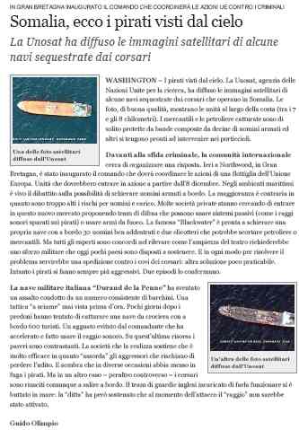
 Since the inception of the monitoring by the UNOSAT Programme of piracy activity off the coasts of Somalia, the interest of international organizations and media has continued to grow. Today a number of maritime offices and international organisations, and national agencies, use the updated maps prepared by UNOSAT as reference material. These maps document the history of recent attacks perpetrated by pirates and their exact geographic locations, allowing to establish trends in specific areas of the Somali coastline and also to identify areas in which incidents have a particular density. This work has come to attention of oil companies, for example, for which it represents a good basis to estimate risks linked to oil transportation via sea. The press has been particularly interested in these maps, which have been often published in articles describing the response by the international community to the increasing threat posed by pirates to commercial and touristic shipping. In this picture, we show an article of the Italian newspaper Corriere della Sera. Piracy mapping has also the attention of non printed media: see a video on this topic at http://www.youtube.com/watch?v=5Z4pmMyDOns

