

18 February 2014, Geneva, Switzerland - UNITAR’s Programme UNOSAT continues to put innovative tools in the hands of the humanitarian community as satellite derived mapping gain in popularity with humanitarians.
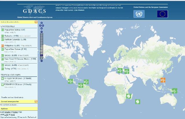
For years UNOSAT has been providing support to the Global Disaster Alert and Coordination System (GDACS), an on-line set of resources used by humanitarians to receive alerts and information on sudden natural disasters. Part of this set-up is a mapping & satellite imagery coordination mechanism operated by UNOSAT to facilitate access by humanitarians to the most useful maps for each crisis situation.
Since January 2014 this mechanism is providing an additional service: a regular overview of ongoing satellite mapping relating to current disaster response operations. The service provides an update of all initiatives relating to mapping from space of on-going disasters with a short description of each of them. The information is intended for disaster managers, operations centres, desk officers and others in need of a synthetic update of what is going on worldwide in this field. The service is operated by the same team at UNOSAT that provides GDACS with mapping & satellite imagery coordination in case of disaster.
The service draws on information generated at UNOSAT as well as regular input and contributions from various entities active in satellite derived mapping. Einar Bjorgo of UNOSAT says: “It is a simple add-on to our a mapping & satellite imagery coordination mechanism that conveys a better picture of what’s going on in space that can be of direct help for those who are in the field and need information. The first thing about satellite derived mapping is that potential users have to know what is coming up so they can make the best use of it”. Peter Billing, Deputy Head of the Unit "Crisis Response" at ECHO that works in coordination with UNOSAT in several emergencies a year said of the new service: “It’s a good product. It should help us maintain an overview and avoid duplication”.
The service has a central e-mail account for comments, questions and to submit information on satellite image derived products: maps(at)gdacs.org. Summaries are issued each week or two weeks, depending on the amount of activity.