

 January 2013 - Cyclone Evan is a powerful category 4 storm that tore through the Pacific in December 2012 and was initially compared to the dramatic storm that hit the same region in 1993. On 15 December, as the cyclone unleashed its power provoking death and destruction, UNOSAT was activated by OCHA with a request to deliver rapid mapping over Samoa, and then again on 18 December 2012 for Fiji. While Samoa had little forewarning of Evan’s arrival, Fiji benefitted from an early alert and could prepare for the storm landfall, which caused extensive destruction but no casualties.
 When OCHA Regional Office in Bangkok contacted UNOSAT to request satellite based rapid mapping, experts in Geneva decided that the situation required also the triggering of the International Charter Space and Major Disasters. UNOSAT triggers this important international mechanism as a matter of routine to fulfil its mission to help UN humanitarian agencies with satellite derived mapping for emergency response. Each year approximately 30% of UNOSAT humanitarian activations benefit from data delivered for free by Space Agencies adhering to the International Space Charter.
 This type of disasters defies the typical notion of “major disaster” because even though they don’t cause widespread casualties among the population they force thousands of people to move to shelters and the damage to infrastructure and housing can take years to repair, inflicting a blow to economic development and the tourism industry. In the case of Fiji, an estimated 8,000 people had to be evacuated and the local press compared Viti Levu immediately after the passage of the storm to a “war zone”.
As usual the coordination of information available on this disaster was done through GDACS, for which UNOSAT ensures the coordination of relevant and timely geospatial resources. Satellite imagery analysis remains a rapid and economical way to assess damage in the early stages of a disaster and plan response even in remote areas. In the case of Cyclone Evan, UNOSAT released more than rapid maps and produced also atlases and damage assessment reports.
Download the damage assessment reports over Fiji and over Samoa
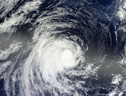
Image 1 - Cyclone evan seen from space (NASA)
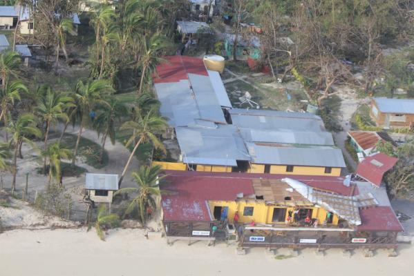
Image 2 - The aftermath of Evan in Fiji (courtesy of Ministry of Information, Fiji)
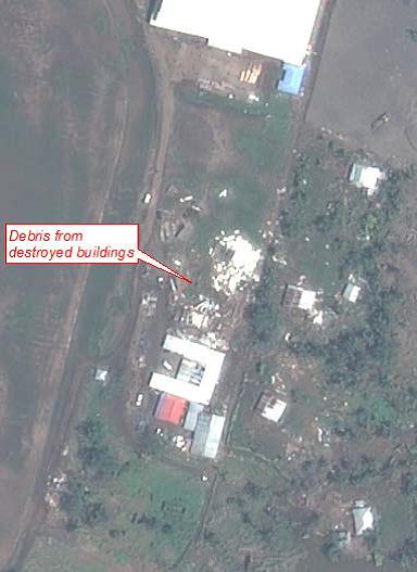
Image 3 - Detail of UNOSAT damage assessment report