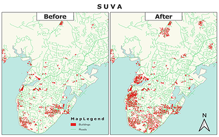
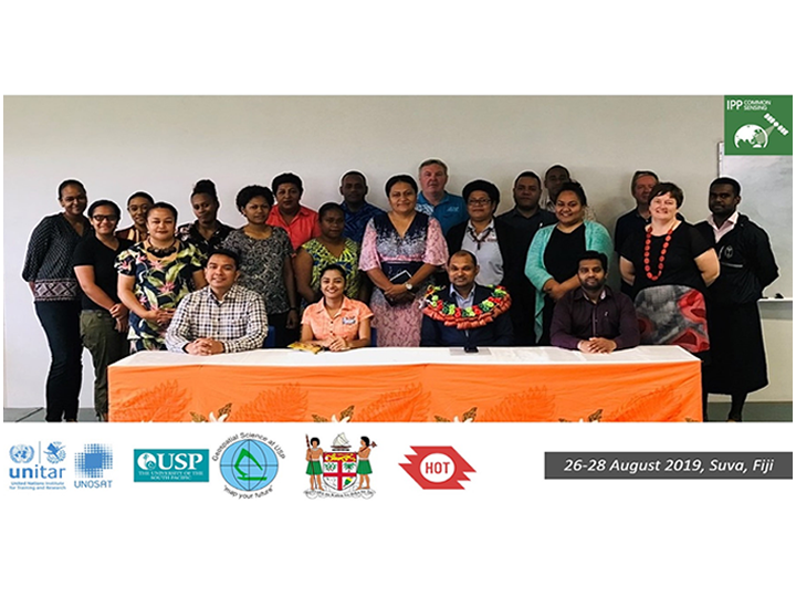
The main objective of the mapathon was to engage the local government and academia in strengthening their awareness and capacity for mapping with high-resolution satellite data. A total of 51 participants, with a balanced gender ratio (F 40:M 60), were from relevant Fiji government agencies and USP Fiji’s School of Geography, Earth Science and Environment, as well as the Australian High Commission. Under the guidance of an expert invited from Humanitarian OpenStreetMap Team (HOTOSM) based in Indonesia, the participants mapped out key infrastructures in selected areas of Fiji using OpenStreetMap. In result, 12,494 buildings, 40 km of roads, 83 highways, 66 land-uses and 6 waterways were newly captured on the updated maps. Especially, the number of mapped buildings in Viti Levu and Vanua Balavu islands nearly tripled in only two days. These outputs will serve the climate resilience strategy of Fiji by providing enhanced baseline data.
All participants expressed high satisfaction, and about 96% of them reported that they were able to measure the significant progress towards achieving learning objectives through pre/post-training self-assessments.
“Thank you indeed for the Learning & Development Opportunity.” Saleshni Naidu, Director of Poverty Monitoring Unit, Government of Fiji
“Appreciate if this training can be conducted for more field personnel.” Jovesa Takiveikata, GIS Officer from Ministry of Women, Children & Poverty Alleviation, Government of Fiji
“The training conducted was very informative and applicable.” Tamarisi Koroijiuta, Student from USP
The missing map mapathon in Fiji made the most use of very high resolution (VHR) satellite imagery that were made available by UNOSAT as per CommonSensing solutions. Rich baseline data generated during the event will feed into the decision support tools presently being developed under the CommonSensing project (e.g. INFORM subnational index and exposure database for enhancing disaster risk reduction and climate change adaptation). Furthermore, local ownership and knowledge sustainability are expected to be improved by participants who completed the ToT. As certified trainers, they will be able to run replicated mapathons for other mapping champions in the region.
Adhering to the core principle of the 2030 Agenda for Sustainable Development “Leave no one behind”, UNOSAT will continue covering the needs of vulnerable communities while carrying out the CommonSensing project in the Pacific SIDS.